- +354 461 1355
- This email address is being protected from spambots. You need JavaScript enabled to view it.


- HOME
- PAME
PAME is one of six Arctic Council working groups. PAME was first established under the 1991 Arctic Environmental Protection Strategy and was continued by the 1996 Ottawa Charter that established the Arctic Council.
PAME is the focal point of the Arctic Council’s activities related to the protection and sustainable use of the Arctic marine environment and provides a unique forum for collaboration on a wide range of activities in this regard.
PAME carries out activities as set out in bi-annual work plans approved by the Arctic Council on the recommendation of the Senior Arctic Officials. These activities led by PAME include circumpolar and regional action programmes and guidelines complementing existing legal arrangements aimed at protection of the Arctic marine environment from both land and sea-based activities. PAME works in close collaboration with the other five Arctic Council Working Groups.
- The PAME Working Group generally meets twice per year. Each meeting produces Records of Decisions (RoD's) which form the basis for the meeting reports The RoD's are decisions taken by PAME by consensus.
Participation between meetings varies, but each Arctic Council Member State nominates experts for the meetings, which are also open to the Permanent Participants, Observers in addition to experts invited by PAME.
PAME Working Group Meeting Reports
Ministerial deliverables are documents which PAME produced for each Ministerial Meetings. The Arctic Council Ministers can either approved, welcome or note the deliverables.
Deliverables are generally the main documents associated with each PAME project.
See Ministerial Deliverables.
- The reports to the Senior Arctic Officials are generally short and concise overviews of the PAME working group proceeedings between SAO meetings. They give an update and overview on ongoing projects. SAO meetings are held regularly but progress reports are generally released once or twice per year.
Reports to Senior Arctic Officials.
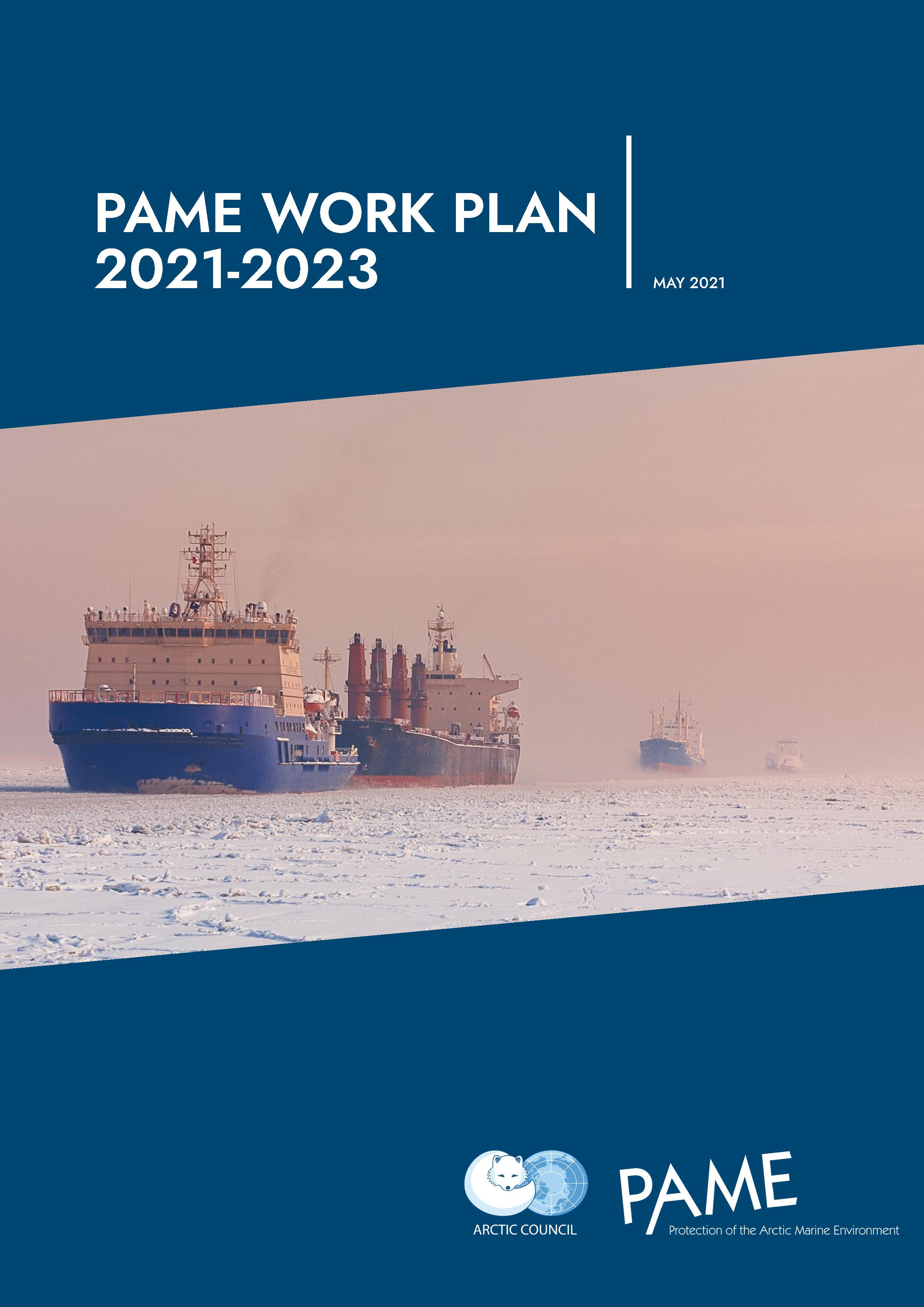
The purpose of the PAME Work Plan is to provide a framework for PAME´s work related to the protection of the Arctic marine environment for every two year working period.
The PAME Work Plan includes information on all ongoing PAME projects and gives insight into activities ongoing at the given time.PAME Work Plan
PAME activities are governed by the Arctic Council Working Group Common Operating Guidelines.
The Operating Guidelines are to be read and used in conjunction with other documents, including the 1996 Ottawa Declaration establishing the Arctic Council, the AC Rules of Procedure (RoP), the AC Observer Manual for Subsidiary Bodies and other relevant documents of the AC.PAME activities are guided by the Arctic Marine Strategic Plan and biennial Work Plans, which are developed by the PAME Working Group for approval by the Arctic Council Senior Arctic Officials.
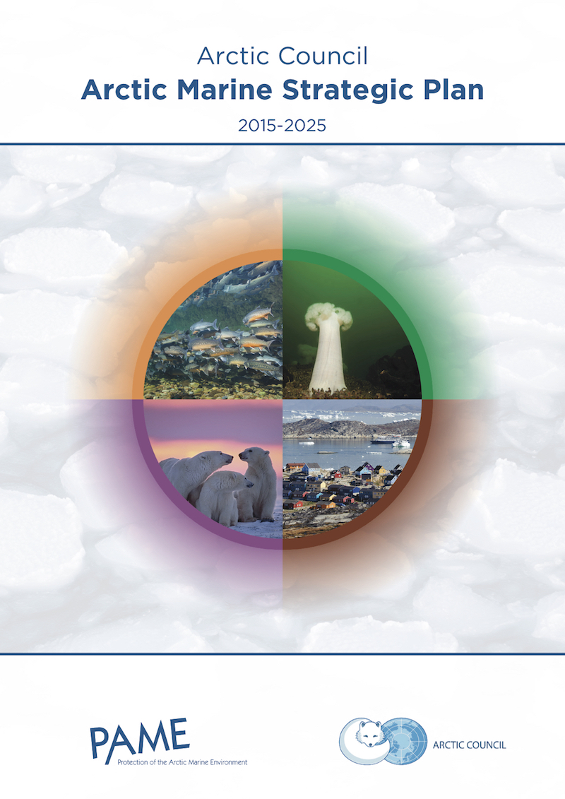
- The AMSP articulates how the Arctic Council can increase its understanding of the impacts of human activities, climate change and ocean acidification.
The AMSP recognizes the importance of acquiring a better understanding of Arctic change so that actions can be taken that allow Arctic inhabitants, including Arctic indigenous peoples to further adapt to the change.
The strategic actions identified in the AMSP will guide the work of the Arctic Council and its subsidiary bodies in the coming decade.
Arctic Marine Strategic Plan
The PAME logo is available for download here. The logo cannot be changed for use.
For more information contact the PAME Secretariat (pame@pame.is)
- PAME regularly posts news, press releases and announcements in the PAME website.
Click here to go to the news archive.
- PROJECTS
- Ecosystem Approach to Management
- Large Marine Ecosystems (LME's) of the Arctic
- Guidelines for EA Implementation
- Synthesis Report on Ecosystem Status, Human Impact and Management Measures in the Central Arctic Ocean (CAO)
- Integrated Ecosystem Assessment (IEA) of the Central Arctic Ocean
- Ecosystem Approach to Management Documents
- Resource Exploration and Development
- Status of Offshore Oil and Gas Activities in the Arctic
- Marine and coastal mineral extraction
- Arctic Offshore Oil And Gas Regulatory Resource
- Systems Safety Management and Safety Culture: Avoiding Major Disasters in Arctic Offshore Oil and Gas Operations
- Management of Arctic Marine Oil and Gas Associated Noise
- Arctic Offshore Oil and Gas Guidelines
- Arctic Port Reception Facilities Inventory
- Collaboration with the Arctic Regional Hydrographic Commission (ARHC)
- FAQs by Arctic Council Observers
- Interpretation of the Polar Code
- Low Sulphur Fuels, Fate, and Behavior in Cold Water Conditions
- Raising awareness in the Arctic Council of the provisions of the 2012 Cape Town Agreement
- Survey of Select Wastewater Discharges
- Arctic Ship Traffic Data - ASTD
- Arctic Shipping Best Practice Information Forum
- Web-Portal of the Forum
- Arctic Shipping Status Reports
- Heavy Fuel Oil in the Arctic
- Arctic Marine Tourism
- Underwater Noise in the Arctic
- Arctic Marine Shipping Assessment (AMSA)
- Marine Invasive Alien Species in Arctic Waters
- Low Impact Shipping Corridors in the Arctic
- Compendium of Arctic Ship Accidents
- The Arctic Ocean Review (AOR)
- Regional Waste Management Strategies for Arctic Shipping
 Maps
Maps

Maps using data from ASTD can be used freely by all. Please use the source PAME: Arctic Ship Traffic Data. Contact the PAME Secretariat for more information (This email address is being protected from spambots. You need JavaScript enabled to view it.).