 Arctic Council Working Group
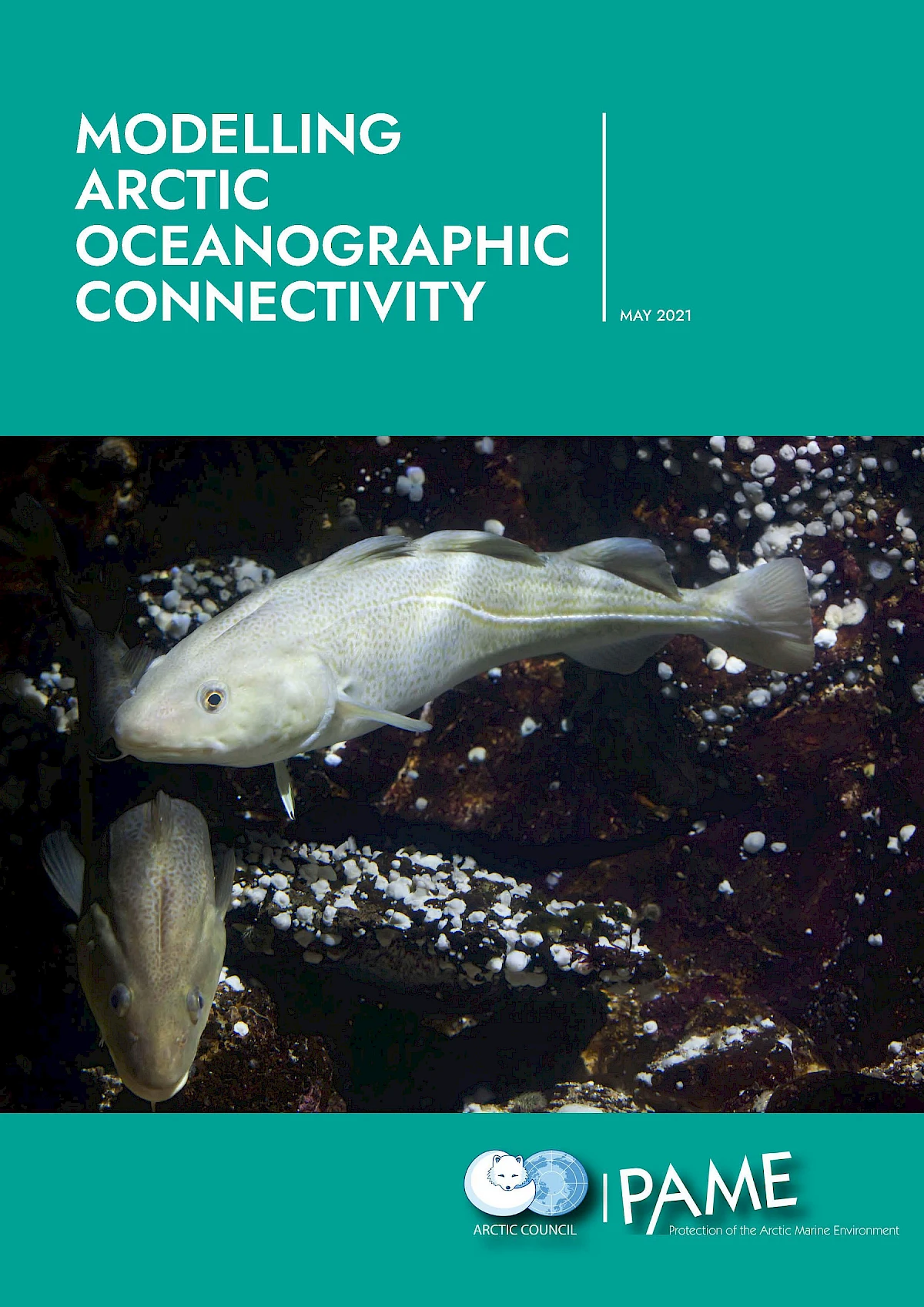
Modelling Arctic Oceanographic Connectivity
Ongoing climate change may facilitate increased access to the Arctic region, and potential new economic opportunities, but may also bring potential threats to the Arctic marine and coastal environments. These changes could benefit from more integrated approaches to Arctic marine management, including the consideration of MPA networks designed to aid in the conservation and sustainable use of the Arctic environment. Understanding seascape connectivity in the Arctic Ocean using oceanographic circulation models is one way to support MPA networks and sustainable use of the Arctic Ocean.
Modelling Arctic Oceanographic Connectivity Report
In May 2021, the report on Modelling Arctic Oceanographic Connectivity was appropved at the Arctic Council Ministerial meeting. The report is aimed as a working document and is a contribution PAME’s MPA toolbox by:
- mapping potential connectivity among populations of key marine species in the Arctic region using biophysical modelling to inform the positioning and nature of conservation measures deployed in a network of MPA
- describing dispersal distance within the Arctic Ocean, which may be used to infer the minimum size of Marine Protected Areas (MPAs) for sufficient self-recruitment
- identifying sources and sinks for MPAs and other valuable areas, e.g. fish spawning grounds and juvenile nursery areas
- identifying major barriers to dispersal and gene flow
PAME will build on the Connectivity Report with a follow up project which will include the Central Arctic Ocean.
Open data
Download the connectivity model data
The model outputs behind this report are freely available for use in MPA network planning and research.
-
Connectivity matrices
Probability of dispersal between any two selected grid cells in the model domain.
-
Shape files of dispersal distance
GIS shapefiles of dispersal distance (km) from each model grid cell.
-
Matrix file list
Complete list of all connectivity matrices.
-
Metadata description
Description of the available data and how it was produced.
Matrices, shapefiles and documentation in one place.
Access all data here →