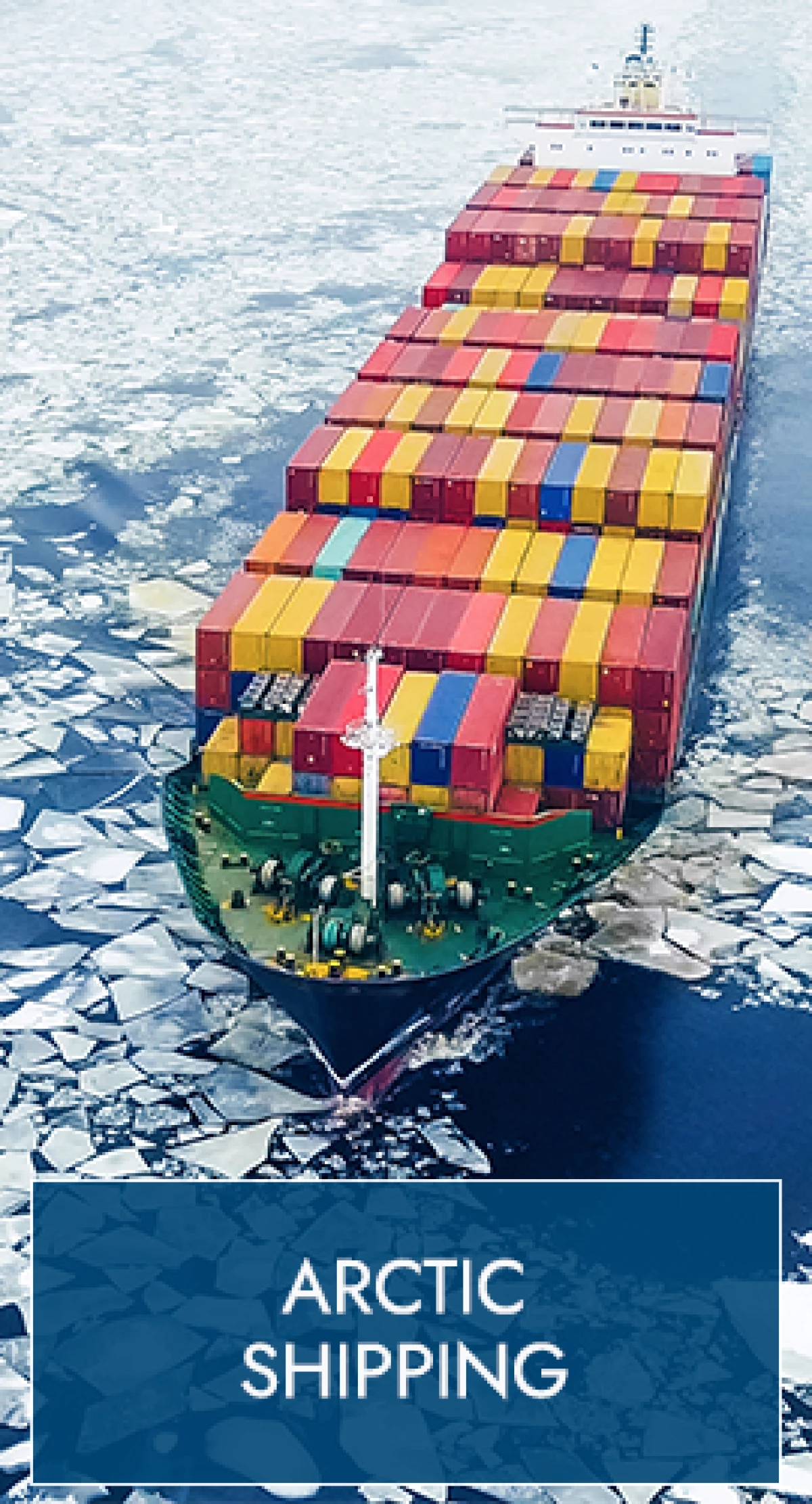
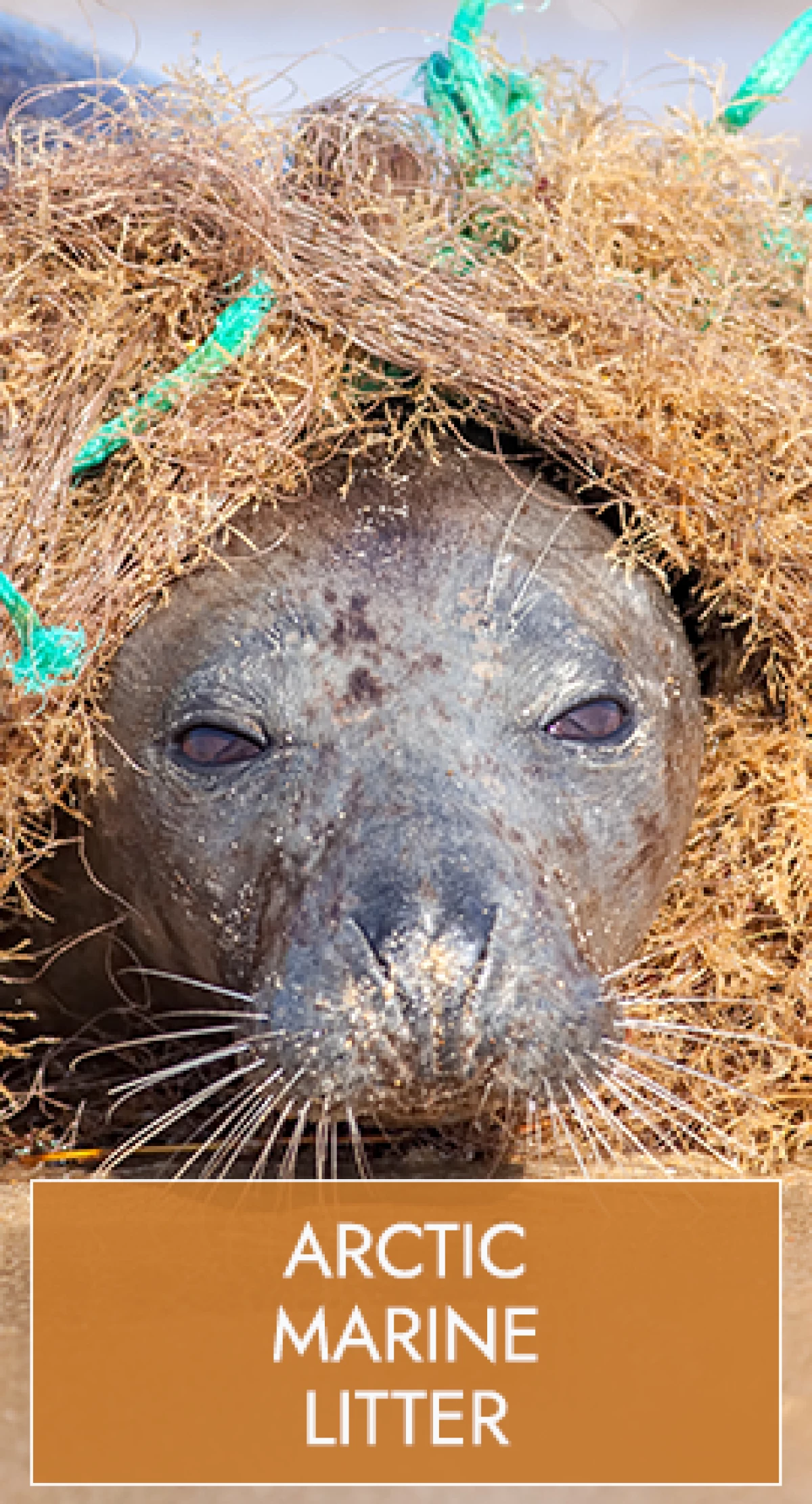
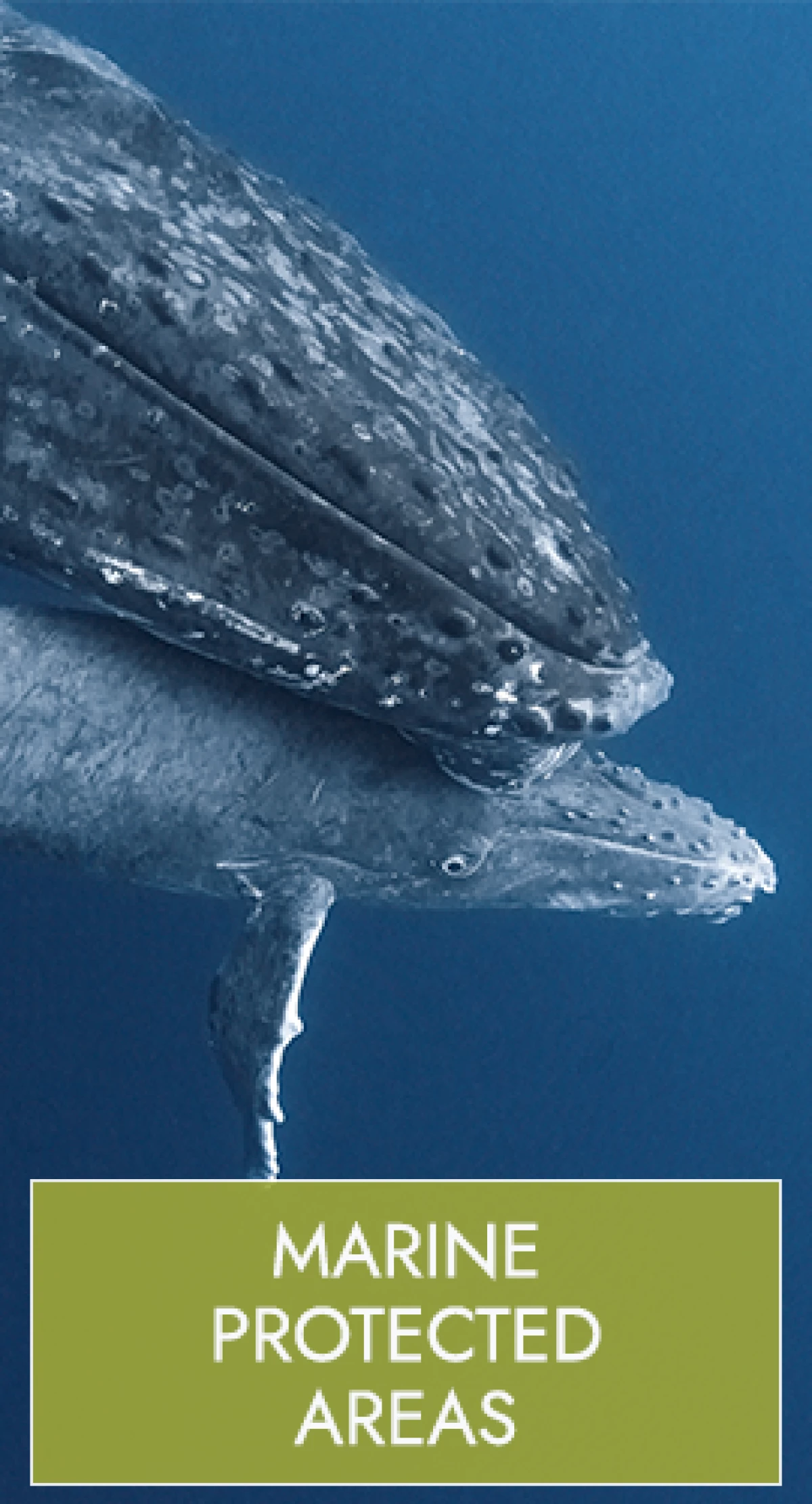
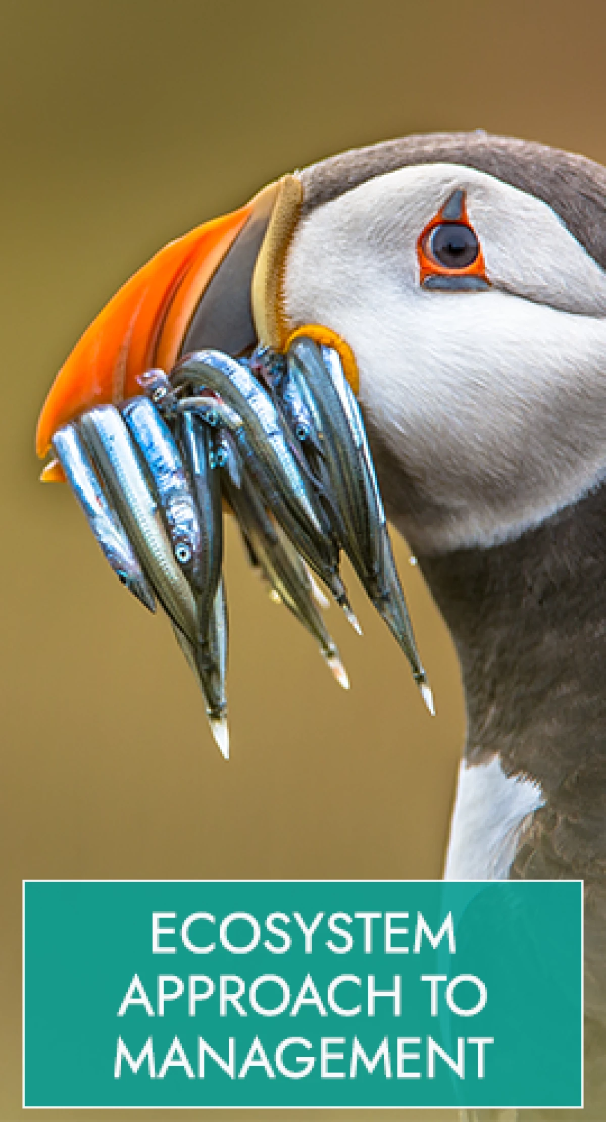
The Northern Sea Route (NSR) is a common name for several navigational routes in the Russian Federation exclusive economic zone (EEZ) – see map to the right (click the map for a bigger version). The area is vast and navigation via the route is carried out in compliance with Russian legislation.
The NSR Administration defines shipping within the areas between the Cape Dezhnev and the Kara Gate and Cape Zhelaniya (or the strait between the Cape and Franz Josef Land) as the Northern Sea Route. The shipping distance between Cape Zhelaniya and Cape Dezhnev is approximately 4000km (2380 nm) when navigating through the Kara Sea, the Laptev Sea and the East Siberian Sea.
Example of navigation: If a ship is navigating through the NSR from Murmansk to China, it can either go through the Kara Gate, closer to the Russian shore, or through the strait between Cape Zhelaniya and Franz Josef Land. It will navigate through the Kara Sea and to the Laptev Sea, either north of the cluster of Islands or through the strait at the shore. When navigating to the East Siberian Sea it can either go north of the island cluster or near the shore before approaching Cape Dezhnev. Navigation depends on conditions of ice and many other factors. Strict regulation applies for navigation through the Northern Sea Route.
NORTHERN SEA ROUTE TRANSITS 2011-2015

NORTHERN SEA ROUTE 2015

The map above shows the 18 departures of the ships transiting the NSR in 2015 departed from 11 ports in 5 countries. The red and yellow markers show ports in cities that ship departed from, the red and yellow markers show destinations of these ships.
125 of the 207 transits were to the Russian Federation and 82 to other countries. The graph to the rights shows the destination country of the 82 transits to other countries. Most destinations are to China and South Korea.. The pie chart shows that majority of the destinations were in Asia i.e. 64%.
NORTHERN SEA ROUTE 2011-2015

The graph on the rights shows ship types that transited in the five years between 2011 and 2015.
- Tanker: A merchant vessel designed to transport liquids such as oil or gases.
- Bulker: A ship which is intended primarily to carry dry cargo in bulk, including such types as ore carriers and combination carriers. For example, many of the ships carried iron-ore, a mineral substance used to produce iron.
- General cargo: A ship with a multi-deck or single-deck hull designed primarily for the carriage of general cargo.
- Container vessel: Cargo ships that carry containers.
- Icebreaker: A special-purpose ship or boat designed to move and navigate through ice-covered waters, and provide safe waterways for other boats and ships.
- Government vessel: Can refer to numerous types of ships, including border control and military.
- Research vessel: Can refer to numerous types of research vessels,
including for seismic research and hydrographical research.
- Tug/supply ship: Tug ships are specifically used to tow or escort ships and supply vessels are used to bring supplies to certain destinations or oil platforms.
- Passenger ship: A ship which carries more than twelve passengers.
- Reefer: A specialized ship to carry frozen food products, such as fish or meat.
- Fishing vessel: Any vessel used commercially for catching fish, whales, seals, walrus or other living resources of the sea.

125 of the 207 transits were to the Russian Federation and 82 to other countries. The graph to the rights shows the destination country of the 82 transits to other countries. Most destinations are to China and South Korea. The pie chart shows that majority of the destinations were in Asia i.e. 64%. Click to enlarge.

The flag state of a vessel is the state under whose laws the vessel is registered or licensed. The flag state has the authority and responsibility to enforce regulations over vessels registered under its flag.
This includes several provisions for navigation, including international conventions such as UNCLOS, SOLAS and MARPOL.
IMO has listed the biggest fleets in the world (by gross tonnage) and as of 31st December 2010 the by far biggest fleet was registered in Panama with over 201 million tons. Liberia was next with 106 million tons and Marshall Islands next with 62 million.
Of the 207 transits, 125 were registered in the Russia Federation and 82 from 20 other countries.
Click to enlarge.

All statistics from the Northern Sea Route Information Office.